OSM Map Server
I am hosting a private map server with data from OpenStreetMap.
The map server is based on data from openstreetmap.org on a PostgreSQL database with Postgis extension. Names have been extended by latin writing where applicable.
Rendering of tiles is done with Mapnik.
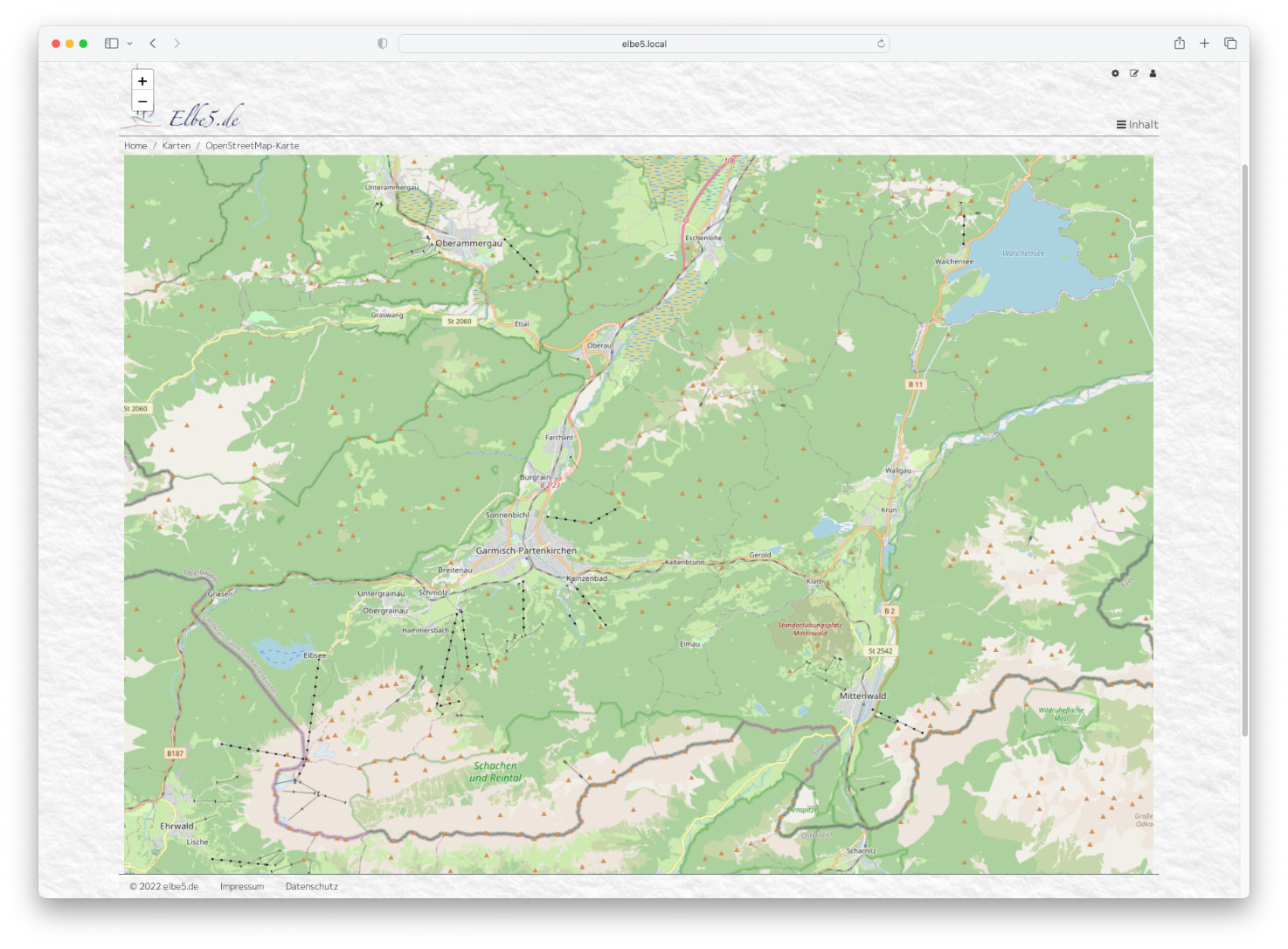
Default Layout

For the default map styles from openstreetmap-carto are used.
The server has been precompiled up to zoom level 10. Higher zoom levels may take a little longer during loading.
The templates for single tiles are
https://maps.elbe5.de/carto/{z}/{x}/{y}.png
The address is
https://maps.elbe5.de
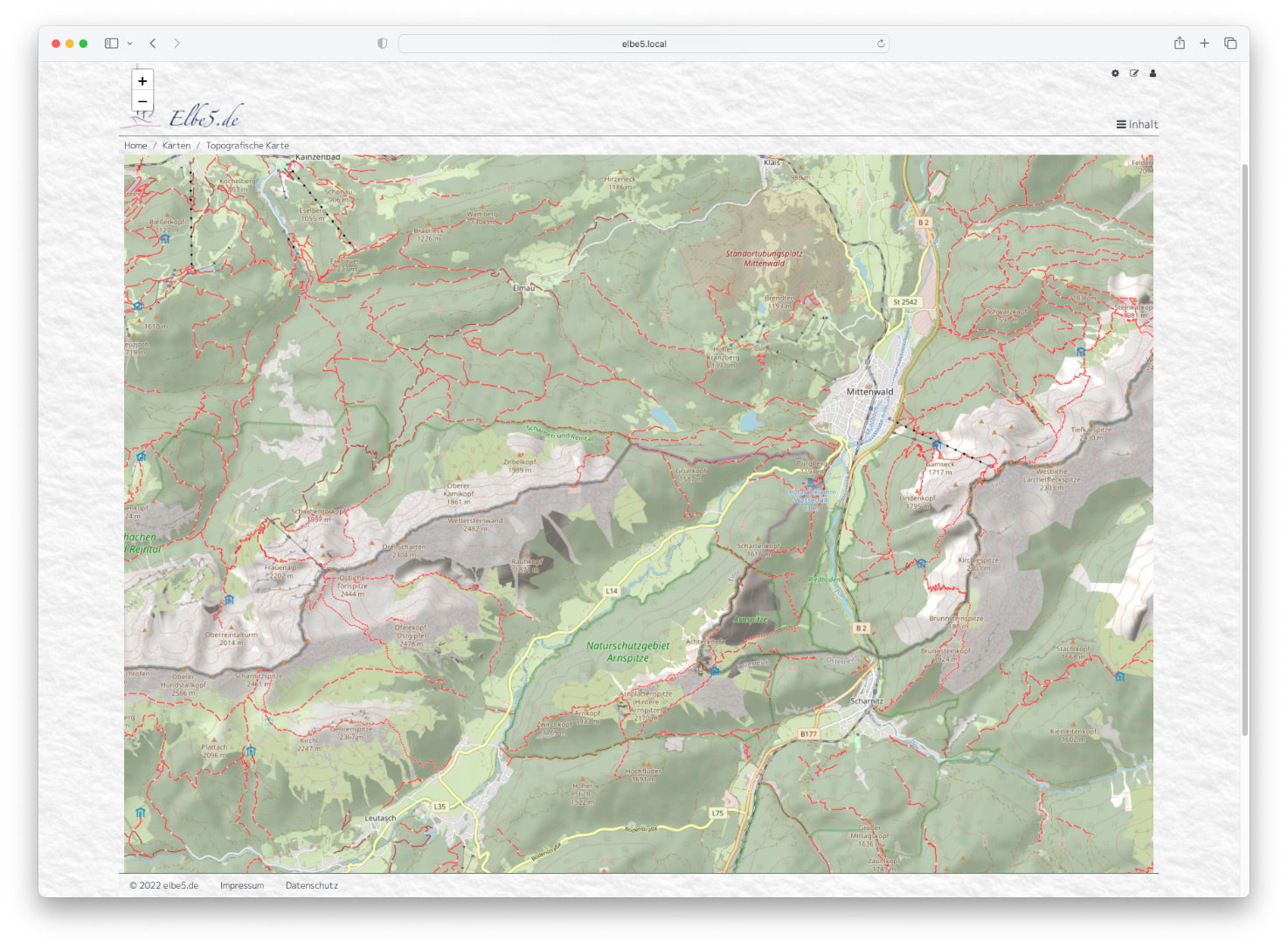
Topographic Layout

For the topgraphic map contour lines and hill shadings have been generated from SRTM data and added to the database rsp. tiles.
Further, hiking trails are marked red on the basis of the
OSM data sac_scale:... and hiking:yes.
The server has been precompiled up to zoom level 10. Higher zoom levels may take a little longer during loading.
The templates for single tiles are
https://maps.elbe5.de/topo/{z}/{x}/{y}.png
The address is
https://topomaps.elbe5.de

